 Mahaska County, Iowa
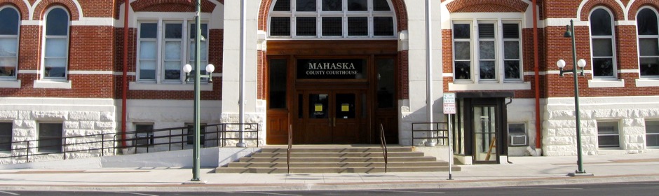
Welcome to Mahaska County
News & Updates
- Board of Supervisors Meeting - 04/22/24
4/19/24 - Mahaska County broadband fiber ARPA project
4/15/24 - Board of Supervisors Meeting - 04/15/24
4/11/24 - Oskaloosa Innovation Park Certified Site
9/29/23 - FY22/23 Maximum Levy Notice
2/11/22 - Now Booking Driver's License Appointments Online
8/30/21 - Peace Officer Name Redaction Request Form 2021
8/25/21 - Safe at Home Program Participant Name Redaction Request Form
8/25/21
Job Openings
Mahaska County Courthouse
106 South 1st Street
Oskaloosa, Iowa 52577
Hours: 8:00a.m. to 4:30 p.m.
Phone: 641-673-4940
| Recorder Marriage license application | |
| Hours: 8:00 a.m. to 4:00 p.m. | |
| Phone: 673-8187 | |
| Appointment only |
| Treasurer Drivers License | Treasurer Auto |
| Hours: 8:00a.m. to 4:00 p.m. | Hours: 9:00a.m. to 4:00 p.m. |
| Phone: 673-9521 | Phone: 673-4618 |
| Appointment only |
Mahaska County Courthouse Annex
301 1st Avenue East
Oskaloosa, Iowa 52577
Hours: 8:00 a.m. to 4:30 p.m.
Mahaska County Law Center
214 High Avenue East
Oskaloosa, Iowa 52577
Hours: 8:00a.m. to 4:30 p.m.
Phone: 673-4322 or 673-8403
Dispatch Phone: 673-0347
Mahaska County Secondary Roads
2074 Old Highway 163
Oskaloosa, Iowa 52577
Phone: 672-2897
Lobby closed to the public
Mahaska County Environmental Learning Center
2342 Hwy 92
Oskaloosa, Iowa 52577
Hours:
Monday & Tuesday 12:30 - 4:30 pm
Wednesday - Friday 12:30 - 8:00 pm
Saturday 10:00 am - 6:00 pm
Phone: 673-9327