 Mahaska County, Iowa
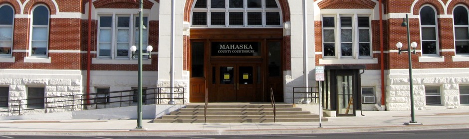
GIS
Brian Knudtson, GIS Coordinator
Mahaska County Courthouse
106 South 1st Street · Basement, SE Corner
Oskaloosa, IA 52577
Contact Information
(641) 673-1454
gis@mahaskacountyia.gov
Hours
8 a.m. to 4:30 p.m.
Monday through Friday
Services & Resources
The Geographic Information System (GIS) Department was created in July 1999 to serve the GIS needs of Mahaska County. The department's goal is to help increase the efficiency and productivity of Mahaska County through the implementation of GIS applications and technology.
The GIS Department maintains a large database of digital mapping layers covering the entire county. In Mahaska County's Geographic Information System, features such as parcels, municipal boundaries, hydrology, roads, bridges, and recreation areas are represented as map features which are linked to a database containing certain essential information.
GIS is used by several county departments, such as the Assessor, Auditor, Engineer, and Environmental Services. The GIS Department maintains equipment, software and data, and produces hardcopy maps to support the use of GIS by county agencies. The GIS Department also manages the sale of mapping products and GIS data for private and public users.